
Peachtree Corners Block Sources
No public source is a complete roster of Peachtree Corners neighbors. County mapping establishes parcels and their spatial relation. Assessment and deed records identify ownership interests. Voter and permit records have narrower legal purposes and limits, while civic organizations publish only the contacts or affiliations they choose to make public.
| Source | What it shows about a block | Access |
|---|---|---|
| Gwinnett GIS | Parcel shapes, PINs, addresses, and selected layers | Free interactive viewer |
| Assessor parcel card | Owners, situs and mailing addresses, exemption, value, legal details | Free qPublic search; office fallback |
| Deeds and plats | Title parties, subdivision lots, and recorded boundaries | GSCCCA account or free Clerk counter |
| Georgia voter list | Registrants and residence addresses where law permits | Ordered list; protected data excluded |
| City and county permits | Work, applicant, contractor, and dates at an address | Web records or open-records request |
| Civic organizations | Public officers, business contacts, and voluntary affiliation | Public pages or member-controlled access |
A named owner is not proof of every occupant. The tax mailing address can differ from the physical, or situs, address. Homestead evidence may support owner occupancy as of the tax date, but it still does not list all household members.
Map Peachtree Corners Neighbors
The Gwinnett GIS Data Browser has the tools needed to move from one address to the nearby parcels. Its results are geographic, not social. A parcel behind the subject home or across a road may fall inside a drawn circle without being what residents call a next-door neighbor.
- Choose Address Search, select the exact result, and zoom to the subject parcel.
- Use Identify Point on each adjacent polygon, or draw an Identify Area around a small visible group.
- Refine the results to the parcel layer. Point Identify can return every visible layer at the click.
- Copy each PIN into the assessor portal for the fuller property card.
- Save the map extent with Share, which retains the extent and visible layers in a URL or QR code.
For a whole road rather than the immediate block, use the Peachtree Corners street directory. That workflow exports a named street's parcel set and follows a broader record chain.
Peachtree Corners Neighbor Buffers
Gwinnett GIS offers Point, Area, Line, and Buffer identification. Buffer creates a circular selection and a separate result tab. That can be helpful near a cul-de-sac or irregular lot pattern, but circle edges do not follow roads, fences, or a common idea of the block. Compare the buffer result with the visible parcel map.
The Layer List can turn parcels, streets, zoning, schools, and utilities on or off. Adjust opacity and labels so parcel edges stay clear. Results can be refined, grouped, compacted, exported, or buffered again. Print accepts a scale, rotation, title, and notes. Record an export date because ownership and parcel data change.
Roads and rear lot lines deserve a visual check. A small radius may omit a house that shares the same short street, while a larger one can sweep in parcels from another subdivision. If the question is who owns the lots that physically touch one parcel, click the shared boundaries one by one. If the goal is a repeatable area survey, save the buffer distance, visible layers, and result export together.
Note: A shared map link documents the researched view, but it does not freeze the underlying owner data at that date.
Confirm Peachtree Corners Owners
GIS retained PIN, owner, location address, and tax-district fields after a 2025 information-box change, while some sales, building, and property details were removed. Open each PIN in the Gwinnett assessor search for the current parcel card. The card can include Owner 1 and Owner 2, situs and mailing addresses, exemption, value, legal description, and deed references.
The Jan. 1 tax-roll owner may remain after a midyear sale. Compare the current deed's recording date before calling that person the present owner. If online property access fails, the Assessor accepts walk-up, phone, email, and open-records inquiries through its Lawrenceville office.
Peachtree Corners Neighbor Voter Limits
Georgia's My Voter Page is an identity-based tool, not a public browse by street. A person enters an initial, last name, Gwinnett County, and birth date to retrieve their own status, precinct, districts, sample ballot, and absentee information. It does not reveal ballot choices.
Names and residence addresses may appear in an ordered voter list under O.C.G.A. §§ 21-2-225 and 21-2-234, subject to protected fields and use limits. Gwinnett Elections also provides phone, mail, office, and records-request channels. An inactive status does not prove that a neighbor moved, since confirmation and list-maintenance steps can cause it.
The Georgia Attorney General's open-government guidance explains agency duties and dispute help.
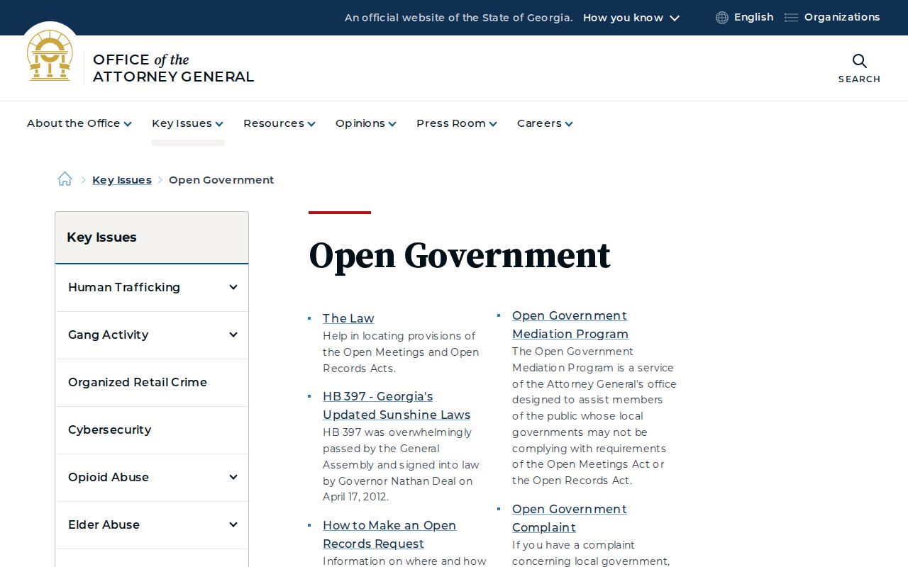
The guidance is a route for public records, not permission to reconstruct information that a statute or safety program protects.
Peachtree Corners Civic Contacts
United Peachtree Corners Civic Association formed in 1993 as an alliance of homeowner associations focused on development and land use. It later played an important role in incorporation. City material also verifies Fox Hill HOA and connects Meadow Green HOA and Bridges Peachtree Corners to local civic history. No official, current, complete HOA roster or public household directory was found.
Business association
Peachtree Corners Business Association
4989 Peachtree Parkway, Suite 215
678-969-3385
Public civic contacts
City volunteer listings name Rotary, the Veterans Monument Association, library Friends, YMCA, and Neighborhood Cooperative Ministries.
The PCBA public directory searches by keyword, category, distance, and alphabetical browse.
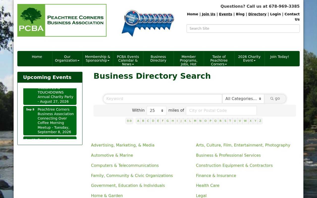
Listings may show an organization name, category, address, phone, and contact link. They are useful for reaching groups, not for identifying private households or members.
Choose Peachtree Corners Neighbor Evidence
Commercial neighbor tools may merge old addresses, estimated relationships, and data from unknown dates. Official sources are narrower but state what a field means and who keeps it. Use the source that directly answers the question, then note what remains unproved.
| Question | Official route | Main limit |
|---|---|---|
| Which lots touch this one? | Gwinnett GIS parcel layer | Map geometry is not a social link |
| Who holds the assessed interest? | Assessor, deed, and plat | Owner may not be occupant |
| Who represents a civic group? | Group's public contact page | Contact is not a member roster |
| What city citation exists? | Municipal Court or records request | Jurisdiction and restrictions apply |
Peachtree Corners Municipal Court handles city-code citations and routes other court matters to Gwinnett divisions.
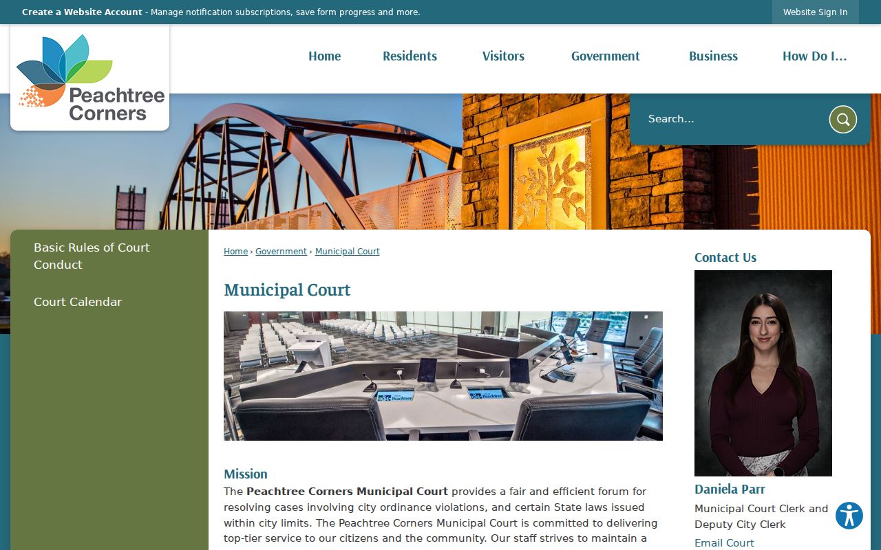
The court page helps identify the right jurisdiction. It should not be treated as a general directory of neighbors.
Protect Peachtree Corners Neighbors
Parcel portals do not provide a complete list of renters, partners, children, visitors, or other household members. Utility and delivery customer identities are not part of the public mapped tools. Private HOA, congregation, and watch-group rosters remain private unless the organization voluntarily gives access to an authorized member or the public.
Georgia's VoteSafe protections and the Safe at Home address-confidentiality program can shield a participant's residence. Safe at Home launched statewide in July 2026 with substitute-address and mail-forwarding protections. Do not try to defeat those safeguards by joining several sources.
Lawful use. Use neighbor records for civic curiosity, reconnecting, and personal safety awareness. Never use them to watch, harass, intimidate, or harm anyone.